Digital Planning
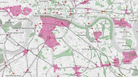
We are working on various initiatives to use digital data to help Londoners to visualise and interact with the planning system. Links to our maps and other initiatives are provided below.
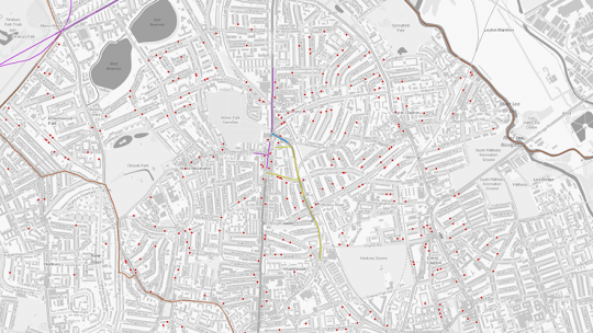
The Datahub is a freely accessible store of all planning permissions in London, together with data about progress
Find out how we are helping you to access London's planning policy data
Find out more about the pilot High Streets Data Service and Partnership and insights on way high streets data is accessed, used and managed.
Find out more about the programme to develop new digital tools for Strategic Housing Land Availability Assessment
Find out more about our interactive web-based mapping tool
Find out more about Design Future London
This tool aims to help you find out where in London accessible and specialist older persons housing is being built
Subscribe to our mailing list to receive updates on Digital Planning News.
