Planning London DataMap
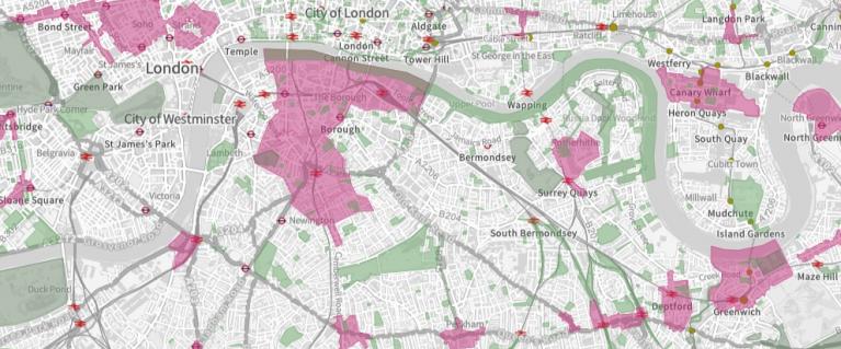
The Planning London DataMap is a tool designed to open up spatial data for London to make it accessible both for Londoners and industry.
What is the DataMap?
The Planning London DataMap shows a wide range of planning policy and development constraint information. The data is currently static, supplied by London's planning authorities on request. We are working on developing tools to make this live, so you can be sure you are looking at the most up-to-date data. Best endeavours are undertaken to maintain the quality of the data, but if you find any inaccuracies please do email us so we can investigate them. Information on when the data was last updated can be found in our tracker spreadsheet.
Policy constraints shown on the map were correct at that time the data was received and are currently under review.
You can access the data either through our online map or by connecting your mapping software to the data through an API.
Access to the APIs is on a layer by layer basis, details of how to access the APIs are on the London Datastore.
Need a document on this page in an accessible format?
If you use assistive technology (such as a screen reader) and need a version of a PDF or other document on this page in a more accessible format, please get in touch via our online form and tell us which format you need.
It will also help us if you tell us which assistive technology you use. We’ll consider your request and get back to you in 5 working days.