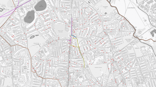
Find out more about our interactive web-based mapping tool
Data and innovation tools
We are working on the development of a range of tools that greatly improve the ways infrastructure is planned, designed, built, maintained and upgraded.
Our tools bring together data from our partners – across both the public and private sector – to provide invaluable insights into both the current and future state of London’s infrastructure.
- Infrastructure Mapping Application (IMA) – an interactive web-based mapping tool which is the central hub of infrastructure investment data in London. The IMA’s two main uses are to identify collaborative streetworks opportunities and to support boroughs to effectively plan for growth and changing infrastructure demands. The IMA is funded by the Lane Rental Governance Committee and is a key tool supporting the Infrastructure Coordination Service. To read more about how the IMA works and its results visit our reports and toolkits page.
- National Underground Asset Register (NUAR) - a digital map of underground assets that helps excavators avoid dangerous utility strikes and promotes efficient exchange of data when works are prepared. NUAR is funded by the Geospatial Commission, part of the Cabinet Office.
- Planning London Datahub – a collaborative project between all of London’s Planning Authorities to create a live picture of how the city is changing by providing a live feed of development data.
Find out more about our digital map of London’s underground infrastructure assets
The Datahub is a freely accessible store of all planning permissions in London, together with data about progress
A source of useful information tools, case studies and best practice guides
